We now have access to 4 further collections in the Wiley Digital Archives:
Access is available until 30th June 2020.
Please send your feedback via the online form.
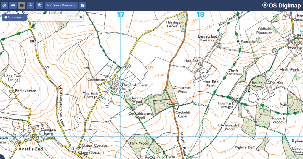
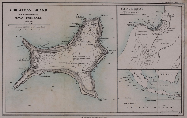
 Royal Geographical Society (with Institute of British Geographers) was founded in 1830. The learned Society promotes the advancement of geographical science in all its aspects. The Society’s archive contains vast collections of documents, maps, photographs, expedition reports, manuscript materials and books, and span 500 years of geography, travel and exploration. The RGS holds one of the largest private map collections in the world. It includes one million sheets of maps and charts, 3000 atlases, 40 globes (as gores or mounted on stands) and 1000 gazetteers. The earliest printed cartographic item dates back to 1485.
The Archive includes Maps, Atlases, Charts and Plans; Expedition Reports; Fieldnotes, Correspondence and Diaries; Grey Literature; Photographs, Artwork and Illustrations; Journal Manuscripts; Photographs; Proceedings, Lectures, and Ephemera. The collection spans a wide variety of interdisciplinary research areas, and supports educational needs in Anthropology, Area Studies; Cartography and Visualizations, Colonial, Post-Colonial & Decolonisation Studies; Development Studies; Environmental Degradation; Historical & Cultural Geography; Historical Sociology; Human Geography; Identity, Gender & Ethnic Studies; Geology; International Relations; Trade and Commerce, and Law and Policy relating to Colonization.
 From the founding charter to 20th-century reports on the effects of smoking, there is a wealth of material on the RCP’s role in relation to contemporary medical advances. The RCP was founded so that physicians could be formally licensed to practise and those who were not qualified could be exposed and punished. There are many archive records defining the RCP’s changing role in setting standards in medical practice. RCP members have always collected manuscripts and papers on a wide range of medical and non-medical topics. As a result the archives contain an eclectic range of 14th- to 19th-century manuscripts. Personal papers of past fellows from the 16th century to the 20th century provide glimpses into the personal lives and social concerns of many distinguished physicians.
 The Royal Anthropological Institute of Great Britain and Ireland (RAI) is the world’s longest-established scholarly association dedicated to the furtherance of anthropology (the study of humankind) in its broadest and most inclusive sense.
This archive includes maps, photographs and manuscripts.
 For 200 years—since 1817—the Academy has brought together extraordinary people working at the frontiers of discovery. Among the oldest scientific organizations in the United States, it has become not only an enduring cultural institution in New York, but also one of the most significant organizations in the global scientific community. Throughout its history, the Academy’s Membership has featured thinkers and innovators from all walks of life, including U.S. Presidents Jefferson and Monroe, Thomas Edison, Charles Darwin, Margaret Mead, and many more.


